Pronouncing the Invisible


The airfield is one of the most precise artificial landscape typologies: its form is purely engineered and functional, its surface is rife with symbols and indices. Every marking on the tarmac, every inflection on a runway means something - it is an instruction, a code of action, a warning.
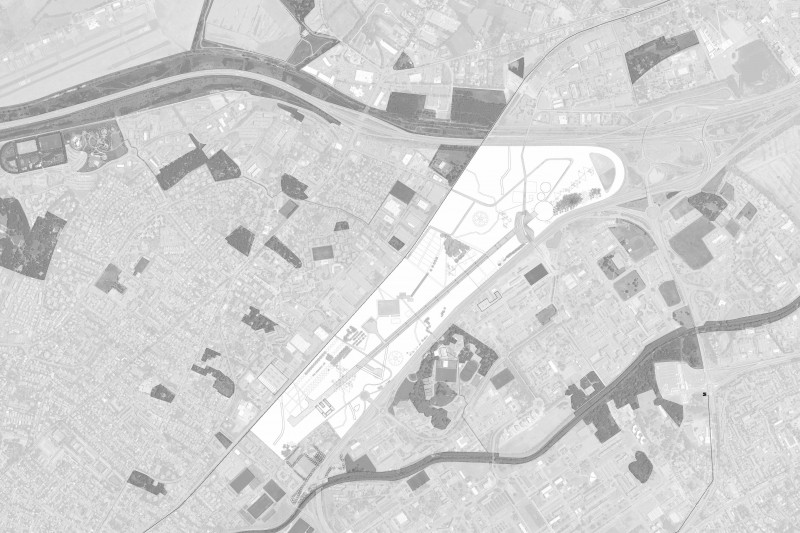
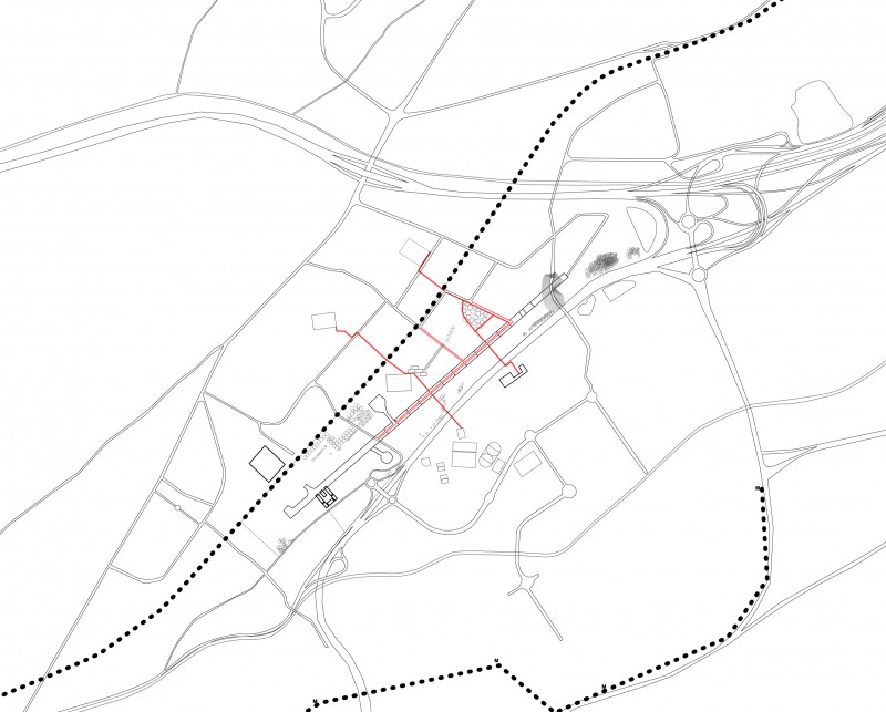
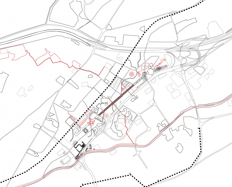
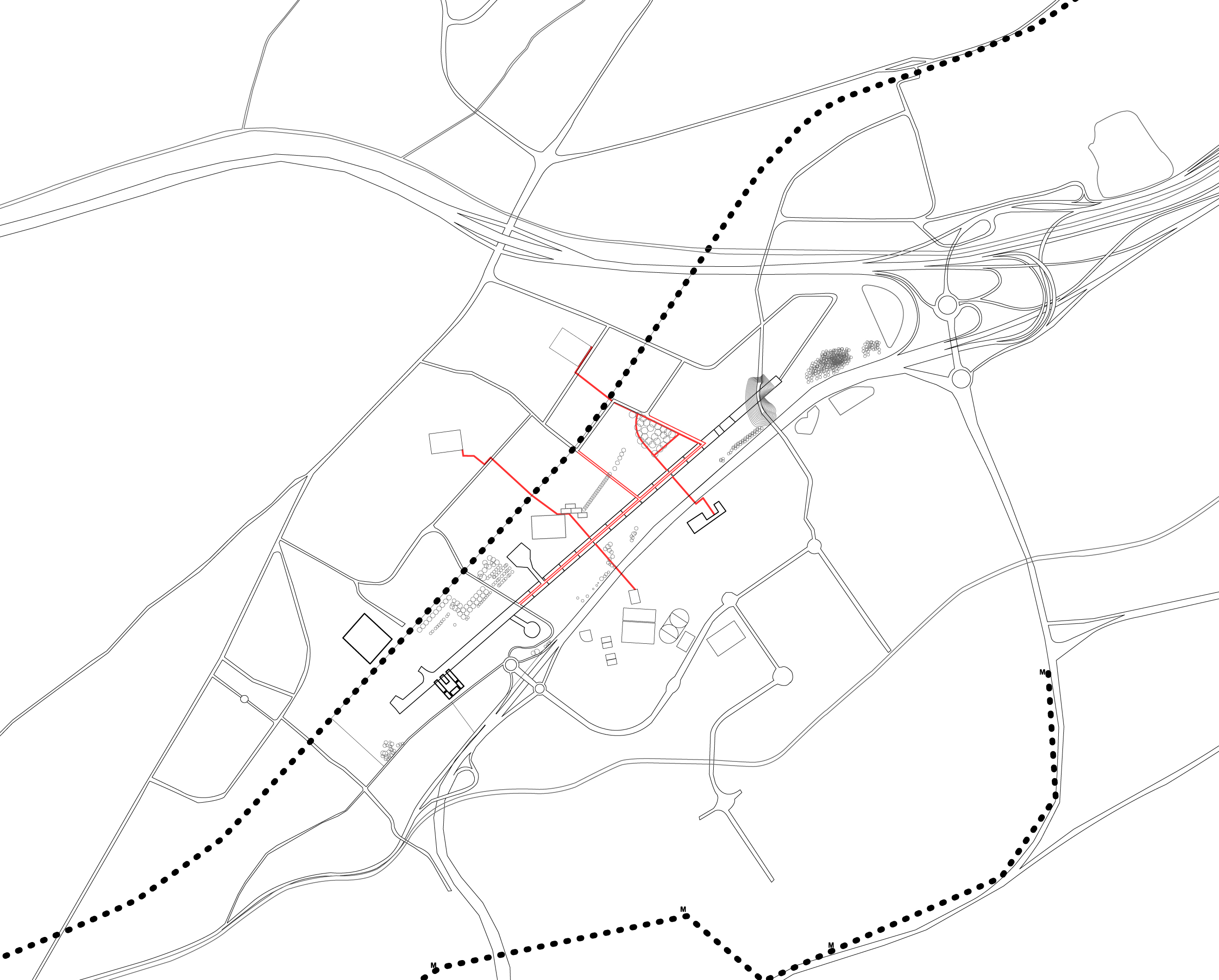
Montaudran airfield, one of the most historically significant sites for the French aerospace industry, is now abandoned and has been for several decades. Once a cohesive, pristine topography, the airfield is fragmented, disintegrated, and wild. The project seeks to transform the abandoned Montaudran airfield into a metropolitan park over a 10-year period. One of the goals is to redefine the notion of the fixed master plan towards a more emergent and flexible design process.
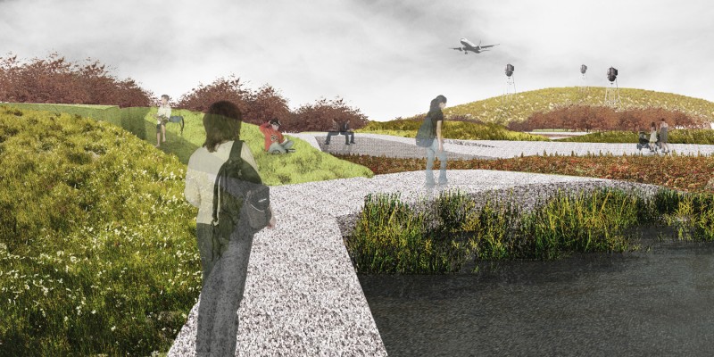
Through a series of simple, precise operations, the project seeks to initiate a process of change that allows for nature to appropriate itself while pronouncing the dialectics between the man-made artificiality of landscape design and the inevitable entropy and growth of nature.
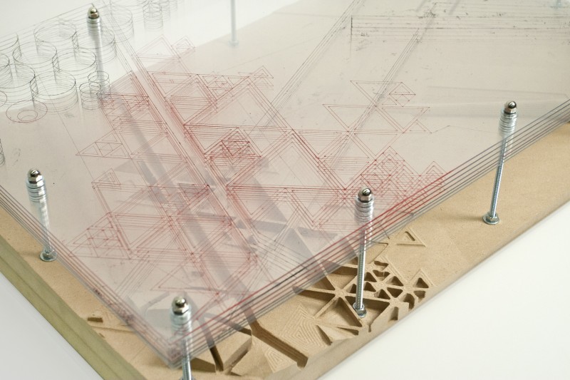
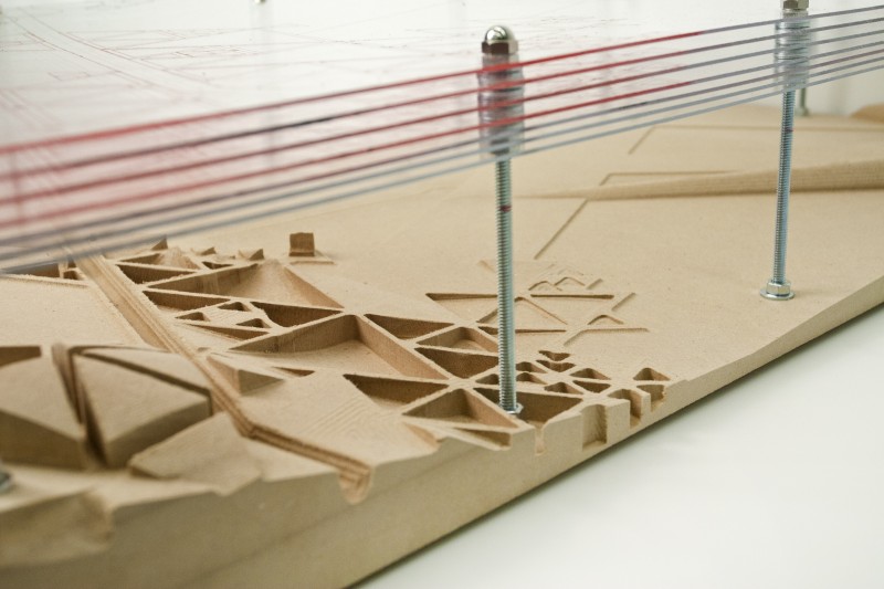
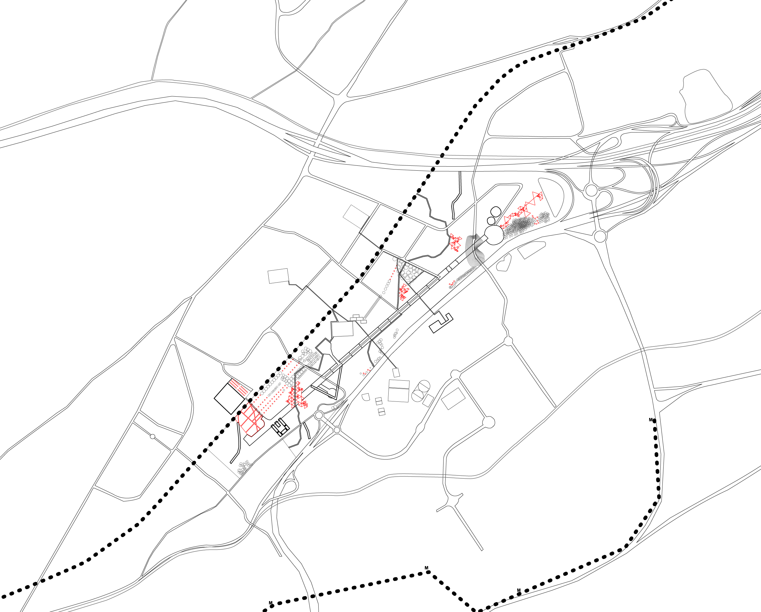
Key existing landscape elements such as the runway, the retention basin, the berm for the overpass, rows of plane trees are preserved. Some become landscape follies, others are infused with new programs. Certain portions of the runway become exhibition grounds for old airplanes while other areas become bike paths and streets.
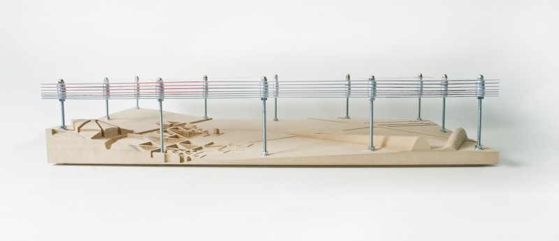
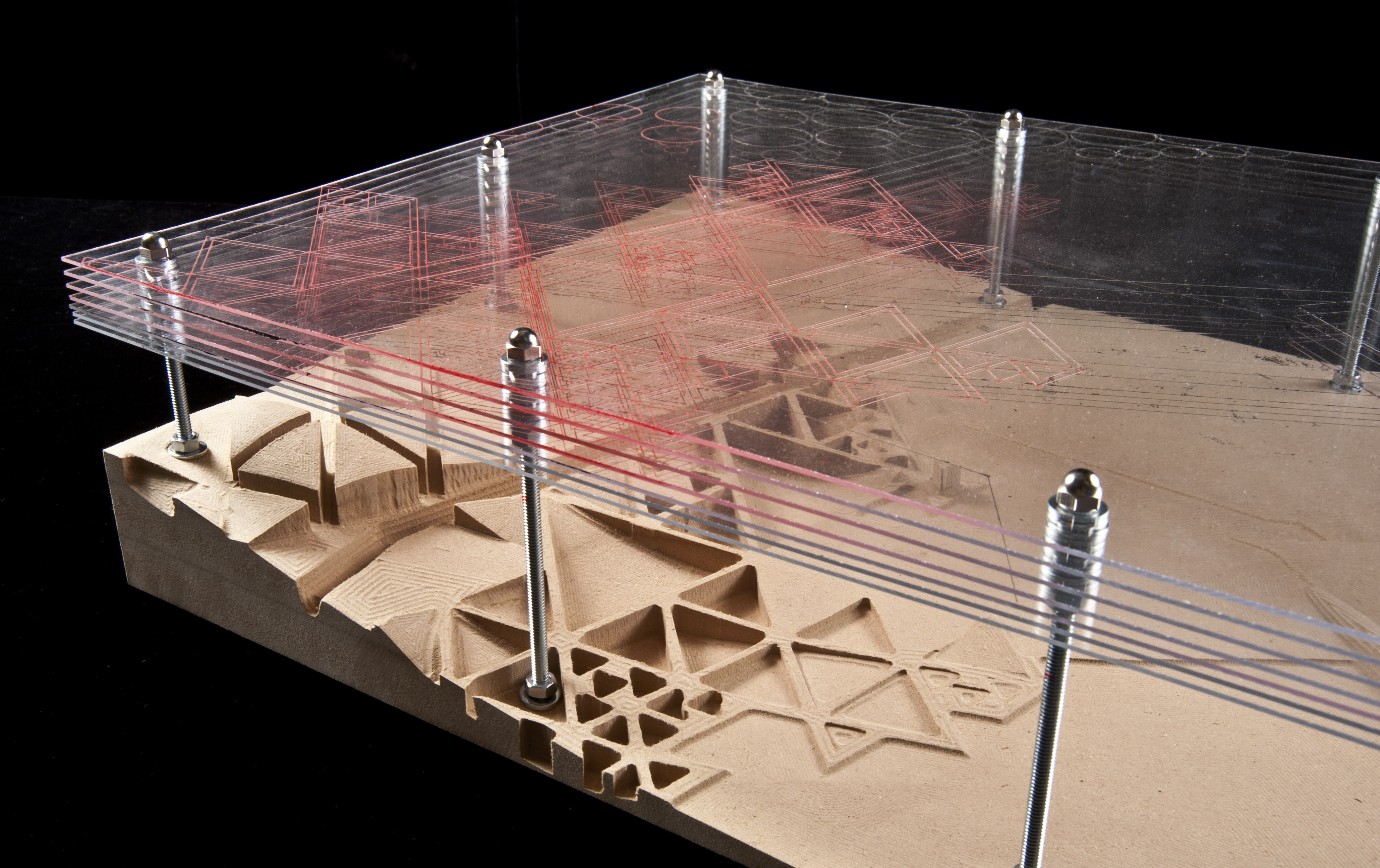
The project employs notational geometries used in landscape analysis and representation (such as contour lines, cut and fill diagrams) on the real site: transcribing the abstract symbols used on paper literally onto the actual landscape, turning Montaudran, once again, into a topography of symbols.
The project uses contour lines, otherwise invisible in nature, as the form of swales, perfectly perpendicular to the slope, to maximize stormwater catchment.
The balance of cut and fill pronounced through relatable geometries: where there’s a cut - a pond or a wetland - a negative hemisphere, there’s a fill adjacent to it - a mound - a positive hemisphere of the same dimensions.
Simple geometries of circles, squares, and triangles are used to form the shapes of the landscape elements with the intention of creating a high contrast between the artificiality of imposed symbols and “nature.” Marking a point of origin – time zero – before entropy. A mark of time.
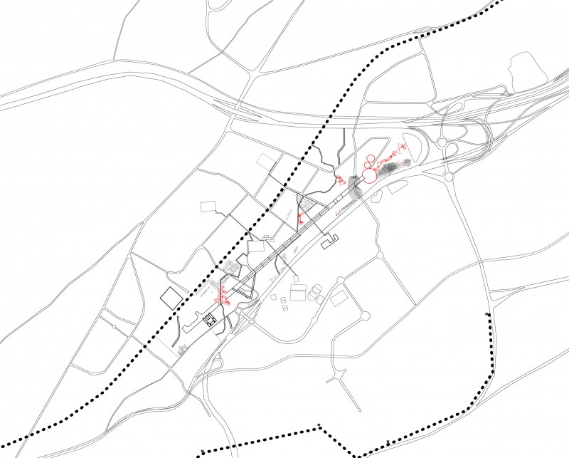
Year 1 / Establishing Connections, Circulation: Roads, Padestrian
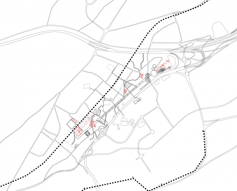
Year 2 / Swales and Longitudinal Mounds
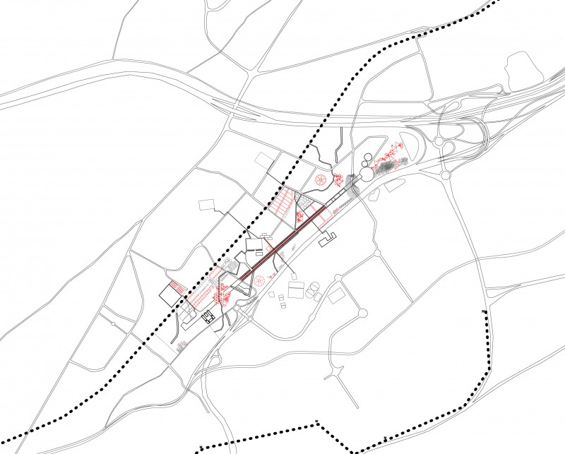
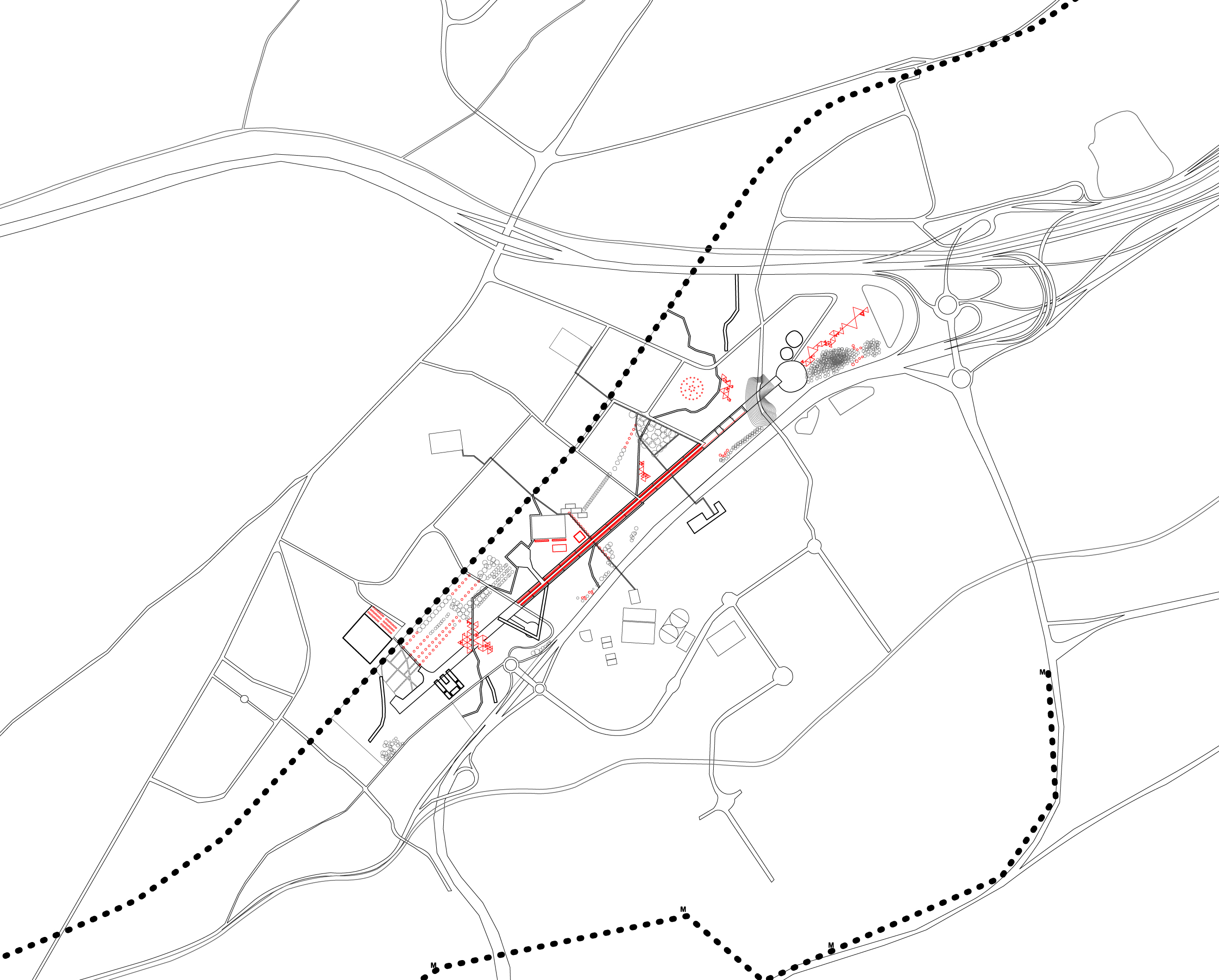
Year 3 / Initiate Wetland System and Lake
Year 4 / Connecting Existing Tree Lines, Develop Historical Site
Year 5 / Develop Sports Corridor, Plant New Trees
Year 6 / Develop Residential Quarter, Plant New Trees
Year 7 / Develop Educational Zone and Area around the Retention Basin
Traces and Changes in Landscape at Montaudran, Toulouse
Spring 2011 / Landscape Morphology Studio (Philippe Coignet)